Paleo-Europe
A 3D model of Europe over the last 26,000 years: ice sheets, sea level and coastlines, rivers and lakes, and ancient DNA, rebuilt from published data and shown as short map films.
Films
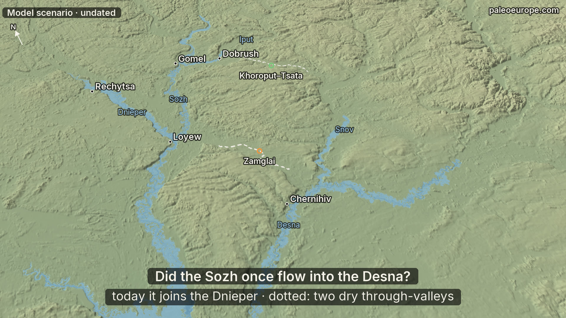 When ice blocked the Dnieper: a lake over Gomel and two ways to the Desna
A model scenario, undated: glacier ice blocks the Dnieper below Gomel, the Sozh backs up into a lake, and the lake spills into the Desna basin through one of two through-valleys. On today's relief the Sozh cannot reach the Desna on its own.
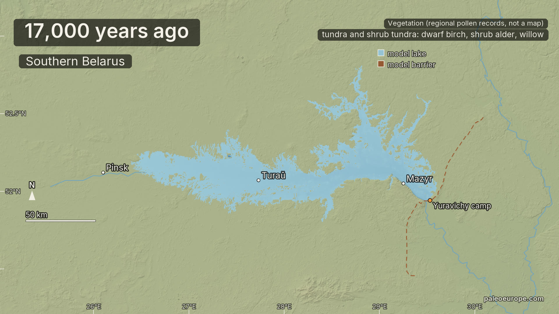 The lost lake of Polesie: a model of the Late-Glacial lake in southern Belarus
A map animation of a model of the Late-Glacial lake of Polesie in southern Belarus, from 17,000 years ago to today: its level, the breach of the Mazyr Ridge, the floods that still come back and the drainage. Whether the lake existed is debated.
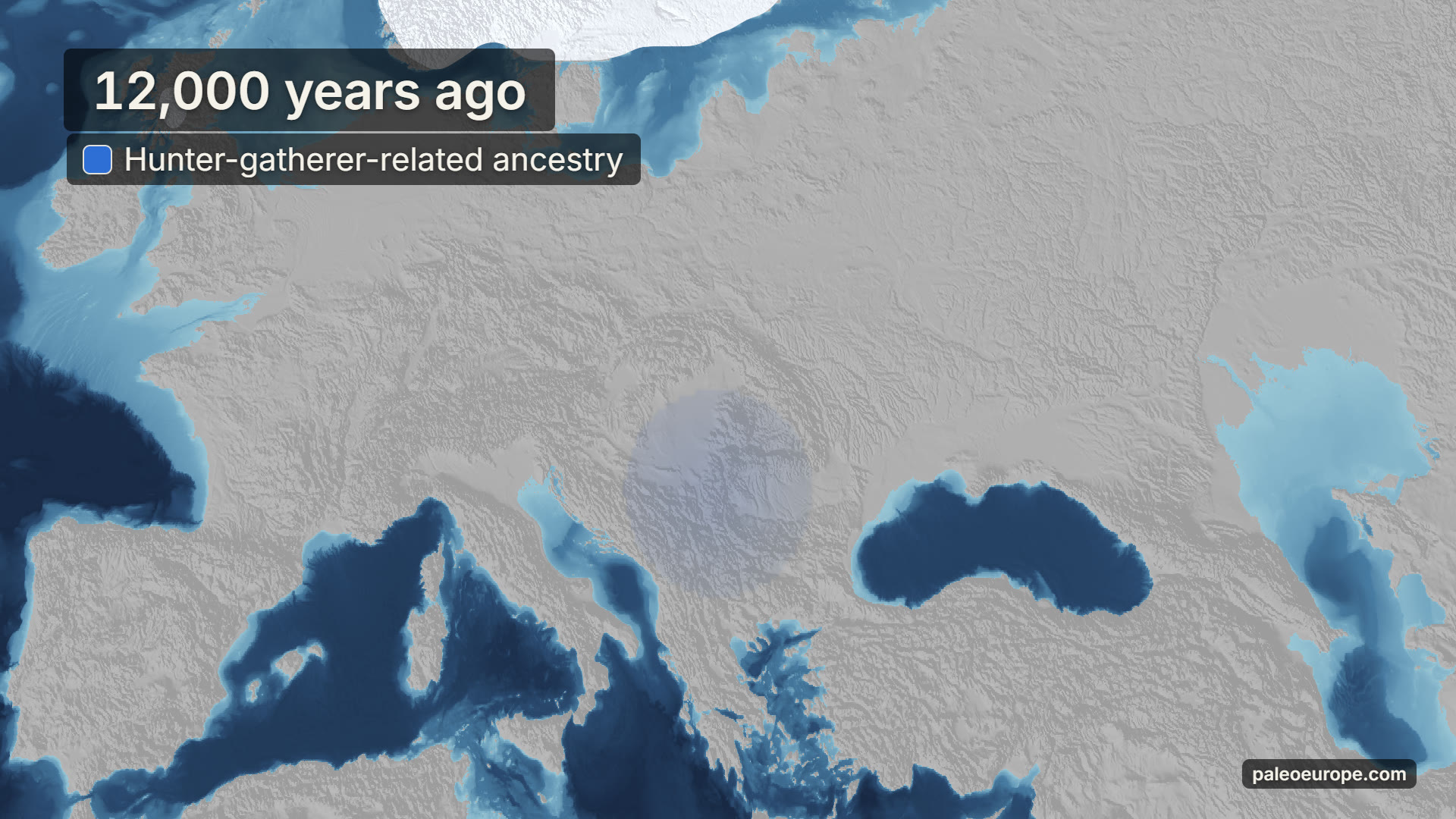 Ancient DNA across Europe, 12,000 to 2,500 years ago
A map animation of three ancestry components in ancient genomes across Europe, interpolated from ancient DNA, from 12,000 to 2,500 years ago. Faint colour means few samples.
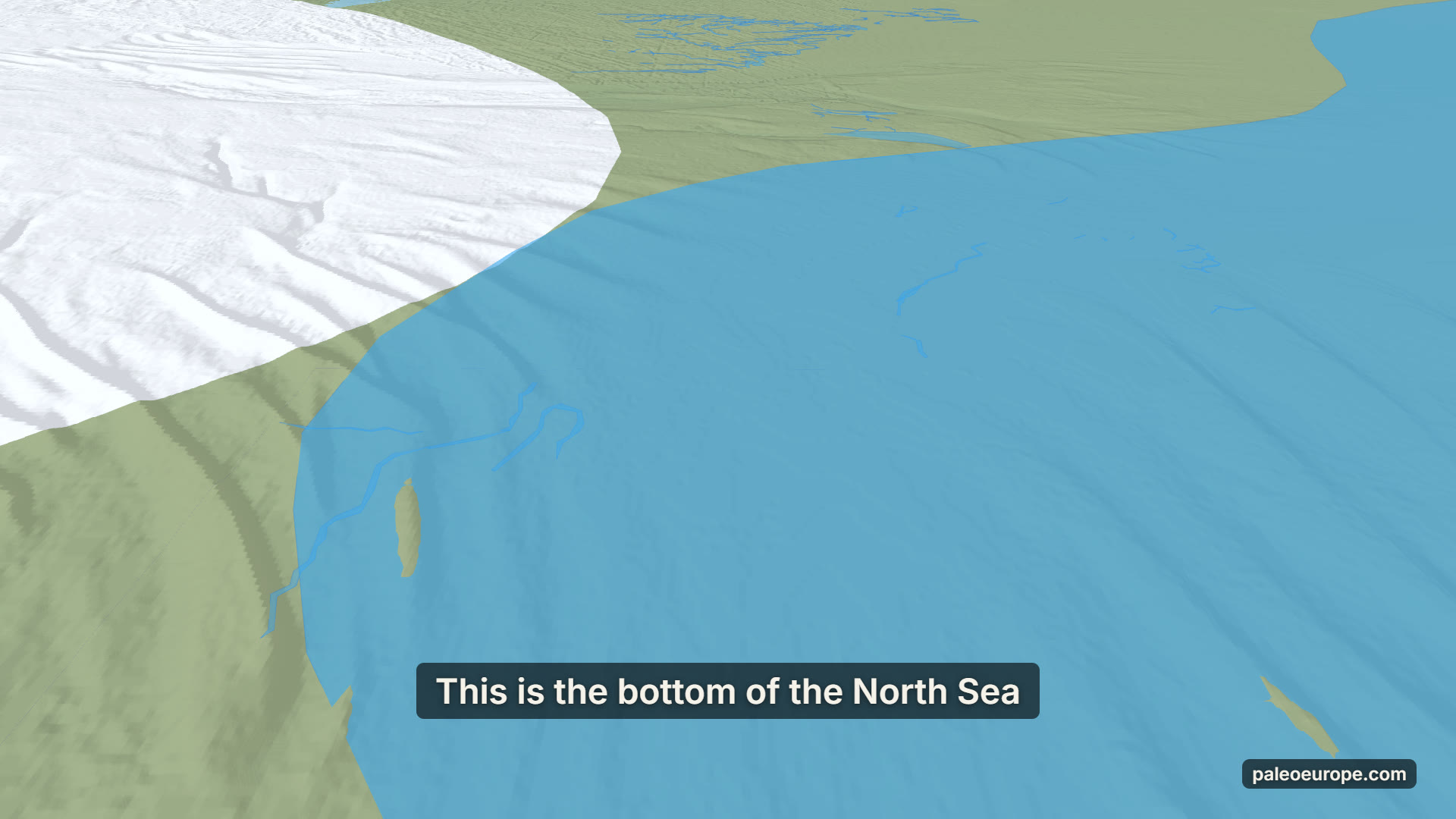 Doggerland: the land that drowned
A model reconstruction of the southern North Sea from 20,000 years ago to today: Doggerland, the land between Britain and the continent, and how the sea covered it.
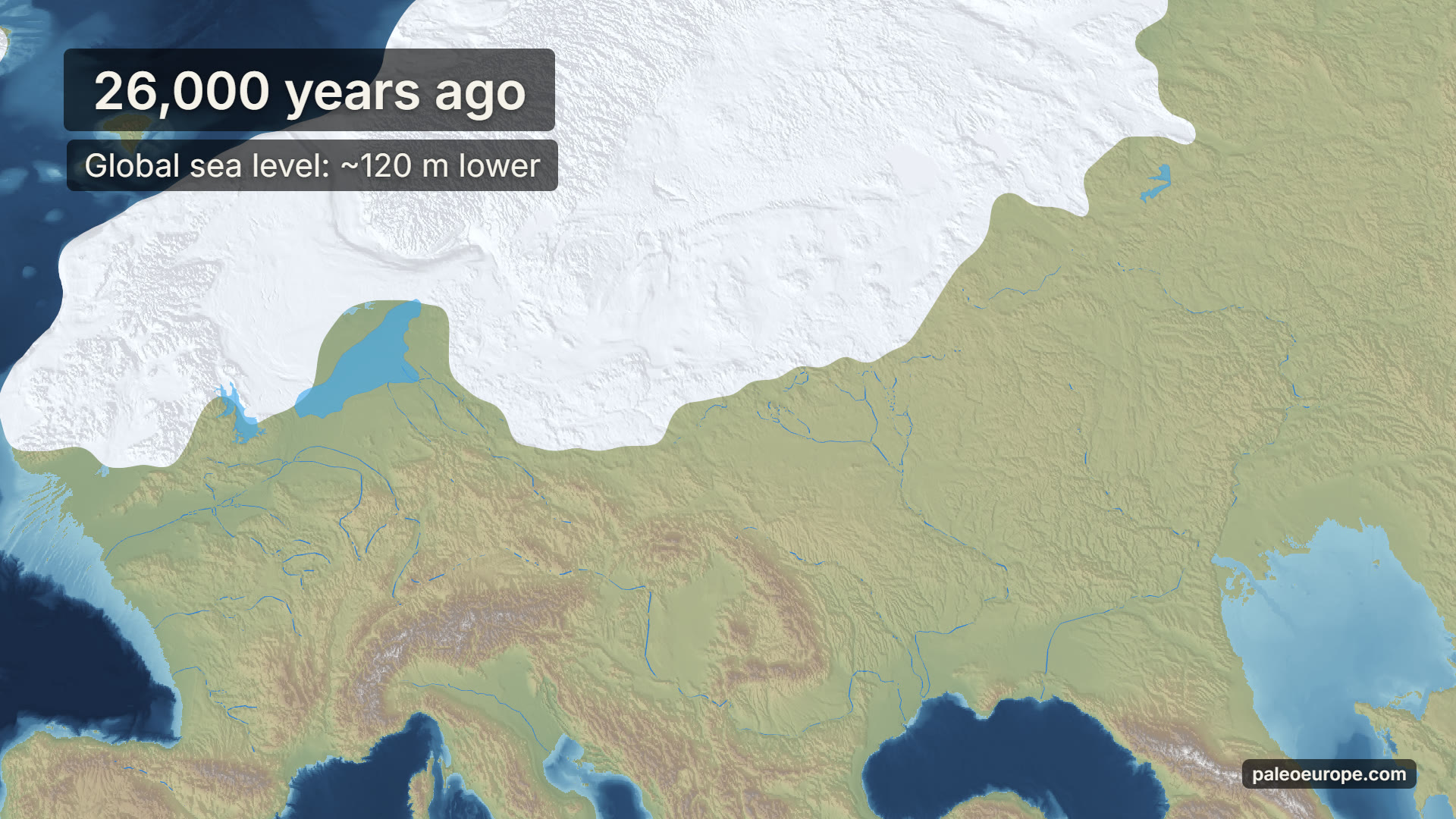 Europe from the last Ice Age to today
A model reconstruction of Europe's ice sheets and coastlines over the last 26,000 years, built from open elevation, bathymetry and ice-model data.
How it is made
Every film is rendered frame by frame from the same model. Modern land elevation and sea-floor data are shifted epoch by epoch with a glacial isostatic adjustment model, flooded to that epoch's sea level and overlaid with the modelled ice; rivers, lakes and ancient DNA come from published maps and datasets.
Every date a film states is measured from the model; each film page compares it with the published literature, lists all sources and says where the model is limited.
3D viewer
The interactive 3D viewer is in private preview for invited colleagues: open the 3D viewer (invitation only).
Films: CC BY-NC-SA 4.0, because they are derived from FABDEM. Share them with a link to their pages; no commercial use.